


Tenerife - Montée par Pico Teide - Descente par Pico Viejo

adubarry
User

Length
17.4 km

Max alt
3690 m

Uphill gradient
1430 m
Km-Effort
37 km

Min alt
2134 m

Downhill gradient
1608 m
Boucle
No
Creation date :
2021-08-10 17:59:18.667
Updated on :
2021-08-11 12:42:02.567
3h01
Difficulty : Difficult

FREE GPS app for hiking
 SityTrail
IGN / Geographical institutes
SityTrail Plus
The world is yours!
About
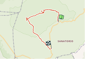
Trail Walking of 17.4 km to be discovered at Canary Islands, Santa Cruz de Tenerife, La Orotava. This trail is proposed by adubarry.

Positioning
Country:
Spain
Region :
Canary Islands
Department/Province :
Santa Cruz de Tenerife
Municipality :
La Orotava
Location:
Unknown
Start:(Dec)
Start:(UTM)
341299 ; 3126869 (28R) N.
Comments